
Snowbird Driving From Washington State to Baja 2026: I-5 Route, Rocky Point Alternative, and Insurance

By Scott Tobin · · 11 min read
Last updated:
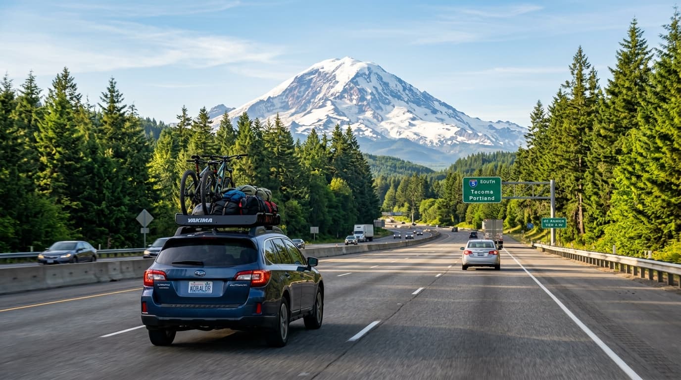
Washington snowbirds have a decision that BC and Alberta drivers mostly don't: Baja or the Sonoran coast?
The I-5 run south to Tijuana is about 1,300 miles from Seattle — shorter than the BC trip and about half the Alberta one. But Washington sits far enough east and inland that the Arizona routing to Rocky Point is also realistic, and a meaningful share of Washington drivers head there instead of the peninsula.
That choice determines which insurance policy you buy, and getting it wrong is the most expensive mistake on this page. Baja Only and Sonora Only are separate products covering separate regions. Neither covers the other.
The insurance decision, first
Your Washington policy is not valid in Mexico. Mexican federal law requires liability coverage from a Mexican-licensed insurer, and it's enforced at accident scenes and traffic stops. Some US insurers sell Mexico add-ons; these are typically supplemental physical-damage coverage and do not satisfy the Mexican liability requirement on their own.
Which Mexican policy depends entirely on where you're going:
Baja Only — covers the Baja California peninsula, Tijuana to Cabo. Roughly $300-350 annually for a mid-value vehicle, full coverage. Cheapest option.
Sonora Only — covers the state of Sonora, which includes Puerto Peñasco (Rocky Point) and San Carlos. Roughly $320-380 annually. Also cheap, but a completely different region.
Nationwide — covers all of Mexico, both of the above and everything else. Roughly $400-500 annually.
Baja Only does not cover Rocky Point. Rocky Point is in Sonora. This is the single most common Mexican insurance error made by US drivers, and it happens constantly because "Baja" gets used loosely to mean "northwestern Mexico." A driver with a Baja Only policy sitting on Sandy Beach in Puerto Peñasco is legally uninsured.
Sonora Only does not cover Baja, for the same reason in reverse.
If you intend to see both in one season — some Washington snowbirds do exactly this, splitting a winter between Rocky Point and the peninsula — buy Nationwide. It costs more than either regional policy but less than buying both, and it removes the risk of driving on the wrong one.
Our Sonora Only vs Baja Only guide covers this distinction in full.
Route A: I-5 south to Baja
The straightforward option, and the same corridor BC drivers use.
Seattle → Portland. About 175 miles.
Portland → Medford / Ashland. About 275 miles, including the Siskiyou climb.
Medford → Redding / Sacramento. About 300 miles.
Sacramento → Los Angeles. About 385 miles through the Central Valley and over the Grapevine.
Los Angeles → San Ysidro / Otay Mesa. About 140 miles.
Total: roughly 1,300 miles from Seattle. Two long days or three comfortable ones.
The winter chokepoint is the Siskiyou Pass area around Ashland and Grants Pass in southern Oregon. During a storm it can require chains or close. Check Oregon and California DOT conditions for that segment specifically before your Portland day. Everything else on I-5 is low elevation and rarely a winter problem.
Crossings: San Ysidro is the main one and sits right at Tijuana. Otay Mesa is east of it, usually less congested, and generally better for a loaded vehicle or a trailer.
Baja is a free zone — no Temporary Vehicle Import Permit required. You still need an FMM tourist permit for a season-length stay.
Route B: I-5 to I-10 to Rocky Point
The Sonoran option, and it's a genuinely different trip.
Seattle → Los Angeles. About 1,140 miles on I-5, as above.
Los Angeles → Phoenix. About 370 miles east on I-10.
Phoenix → Lukeville. About 200 miles: I-10 west to Buckeye, SR-85 south through Gila Bend and Ajo, continuing south to the border.
Lukeville → Puerto Peñasco. About 65 miles on Federal Highway 8.
Total: roughly 1,775 miles from Seattle — several hundred miles more than the Baja run.
Some Washington drivers cut the corner by leaving I-5 earlier and running east through Nevada, which can shave distance depending on your exact starting point and the season. Weather through the interior is the tradeoff.
Lukeville is not a 24-hour crossing. It operates roughly 6 AM to midnight, unlike San Ysidro. Check current hours before planning a late arrival — turning up at 1 AM means waiting for morning.
The Sonora free-zone arrangement exempts qualifying travel in the corridor from the TIP, the same way Baja's free zone does. It does not exempt you from insurance. Confirm current terms at Banjercito when you cross.
Our Rocky Point driving guide and Phoenix to Rocky Point guide cover the destination in detail. If you're drawn to Sonora but want somewhere quieter, San Carlos is the alternative.
Which route suits which snowbird
Choose Baja if: you want a long season in one place, you want the peninsula's variety (you can drive from Tijuana to Cabo on one policy), you like being able to run back to San Diego for anything you need, or you want warm winter weather in Baja Sur.
Choose Rocky Point / Sonora if: you want a shorter total stay, you like the RV park culture, you're bringing a boat and want Sea of Cortez fishing, or you have an existing Arizona connection — a lot of Washington snowbirds who go to Sonora do so because they're stopping in Phoenix or Tucson anyway to see family.
Choose Nationwide and do both if: you're not sure, or you want the peninsula for part of the winter and the Sonoran coast for the rest. The extra premium is small insurance against buying the wrong regional policy.
Where Washington drivers actually stop
On Route A (I-5 to Baja), two or three nights:
- Night one: Medford or Ashland, Oregon. Positions you to take the Siskiyous first thing in the morning, which is how you want to handle that section in winter.
- Night two: Sacramento or Bakersfield. The Central Valley day is fast and dull.
- Night three (optional): the Los Angeles or San Diego area. Skipping this means arriving at the border late, which is worse than an extra night.
- Cross in the morning for daylight driving south.
On Route B (I-5 to I-10 to Rocky Point), three nights:
- Night one: Medford or Ashland.
- Night two: Bakersfield or the Los Angeles area.
- Night three: Phoenix or Gila Bend. Positions you for a morning Lukeville crossing, which matters because Lukeville closes overnight.
- Cross in the morning, then it's about 90 minutes to Rocky Point.
Fuel in Ajo on Route B — the Ajo-to-Lukeville stretch through Organ Pipe has limited services, and Sonoyta's fuel is more expensive and less reliable.
What a season costs to drive
Rough planning numbers, separate from accommodation:
Route A (Baja): fuel for roughly 2,600 miles round trip, two to three hotel nights each way, minimal tolls. Insurance $300-350 for the Baja Only annual. FMM fee. No TIP, no deposit — the peninsula is a free zone.
Route B (Rocky Point): fuel for roughly 3,550 miles round trip, three hotel nights each way. Insurance $320-380 for the Sonora Only annual. FMM fee. No TIP deposit under the Sonora free-zone arrangement.
If you want both: Nationwide at $400-500 replaces either regional annual, and the extra premium is far less than the cost of discovering mid-season that your policy doesn't cover where you drove.
Travel medical insurance is separate and, for a multi-month stay, frequently costs more than the auto policy. Price it early — it's the coverage that matters most if something serious happens.
The honest comparison between the two routes: Baja is roughly 900 miles shorter round trip and administratively simpler. Rocky Point wins if you want the Sea of Cortez, an RV park culture, or a stop with Arizona family built into the trip.
Timing and weather
October and November are the standard departure windows.
I-5 is the most weather-reliable corridor from the Pacific Northwest — low elevation for most of its length, continuous services, and only the Siskiyou segment as a genuine winter concern. Washington snowbirds have more scheduling flexibility than Alberta drivers crossing the Rockies.
If you're taking Route B through Arizona, the I-10 corridor east of Los Angeles is a desert route and essentially never has winter weather problems. The consideration there is distance, not conditions.
The northbound spring trip in March or April is straightforward on either route.
Vehicle prep
You're looking at 2,600 to 3,500 miles round trip plus months of sitting in coastal salt air.
- Service before departure. Parts availability for less common models can mean waiting in Mexico.
- Tires: real tread, correct pressures. The temperature range from Washington October to Baja Sur January is substantial.
- Battery: heat kills marginal batteries faster than cold does. A battery that survived a Seattle winter may not survive a Sonoran February.
- Carry registration, proof of Mexican insurance, passport, and FMM together.
- Photograph the vehicle's condition before crossing.
- If you're towing a boat or trailer, verify separately that both the trailer and the watercraft are covered. Auto policies frequently do not extend to either automatically.
Staying connected over a long stay
Four months is long enough that phone and internet stop being a travel detail and start being infrastructure.
Your US carrier's Mexico coverage. Several major US carriers include Mexico in their domestic plans, which is a genuine advantage Washington snowbirds have over Canadian ones. Confirm the specifics before you leave — some plans include Mexico fully, some throttle data after a threshold, and some treat extended time abroad differently from a short trip. A plan that works for a week in Tijuana may behave differently in month three.
A local SIM or eSIM is inexpensive and worth having as a backup regardless, particularly if you'll be in areas with patchy coverage from your home carrier's roaming partner.
Internet at the rental. Ask specifically about speed and reliability, not just whether wifi exists. If you're working remotely or doing video calls with family, this is worth confirming before you commit to a season.
Coverage on the road. Baja's central desert and the Ajo-to-Lukeville stretch both have real dead zones. Download offline maps for your route before you leave, and don't build a breakdown plan that assumes a working phone.
Banking access. Some US banks flag long foreign absences. Notify them with dates, and have a second card stored separately from your wallet.
The rest of the checklist
Travel medical insurance. Your US health plan almost certainly provides little or no coverage in Mexico, and Medicare provides essentially none outside the US. Mexican auto insurance covers the vehicle and liability, not your health. This is a separate purchase and it's the one people most often skip.
Prescriptions. Full supply, original labelled packaging, copy of the prescription.
Banking. Notify your bank, know your foreign transaction fees and ATM limits.
Mail and household. A four-month absence needs mail handling, and if you're leaving a house in the Pacific Northwest through winter, freeze protection and someone checking on it.
What Washington snowbirds get wrong
Buying Baja Only and driving to Rocky Point. The single biggest error. Rocky Point is Sonora. Verify the policy names Sonora.
Buying Sonora Only and then heading to Baja. Same mistake in reverse.
Assuming their US policy extends into Mexico. It doesn't.
Assuming the free zone means no insurance needed. Free zones exempt the vehicle import permit, not the insurance requirement.
Not checking Lukeville's hours. It closes overnight, unlike San Ysidro.
Not checking the Siskiyou forecast. The one weather risk on I-5.
Skipping travel medical insurance. Different product, and the one that matters most if something goes wrong.
Assuming a towed boat or trailer is covered. Verify each separately.
Buying insurance at the border booth. 2-3x online pricing.
If something happens
Stay at the scene, call the claims number on your policy before moving the vehicle or agreeing to anything, don't admit fault, don't sign Spanish-language documents you can't read.
- Green Angels (Ángeles Verdes) provide free roadside assistance on federal highways in both Baja and Sonora.
- In Baja: Ensenada, La Paz, and Cabo have full hospital infrastructure. Northern Baja residents often cross to San Diego for serious care.
- In Sonora: Puerto Peñasco has medical facilities used to treating US visitors; Guaymas serves the San Carlos area.
- The Ajo-to-Lukeville stretch on Route B has limited services on the US side. Fuel in Ajo.
- Keep a printed copy of your policy in the vehicle.
Frequently asked questions
How far is Seattle to the Mexican border?
About 1,300 miles from Seattle to the Tijuana crossing on I-5, typically two to three days of driving.
What Mexican insurance do Washington snowbirds need?
It depends on the destination. Baja Only covers the Baja peninsula. Sonora Only covers Rocky Point and San Carlos. They are separate regions and neither covers the other.
Does Baja Only insurance cover Rocky Point?
No. Rocky Point is in Sonora, on the mainland. A Baja Only policy leaves you uninsured there. You need Sonora Only or Nationwide.
Does my Washington auto policy cover me in Mexico?
No. US policies are not valid in Mexico. Mexican law requires liability coverage from a Mexican-licensed insurer, purchased separately.
What is the route from Washington to Rocky Point?
I-5 south to Los Angeles, then I-10 east through Phoenix, then south to Lukeville and across to Sonoyta. It adds significant distance compared with the straight I-5 run to Tijuana.
Do I need a TIP for Baja or Rocky Point?
Neither. Baja is a free zone and Rocky Point sits within the Sonora free-zone arrangement. Both still require Mexican liability insurance and an FMM for a long stay.
When should Washington snowbirds leave?
October and November are typical. I-5 is generally reliable year-round, with the Siskiyou Pass area in southern Oregon being the main winter weather chokepoint.
Can one policy cover both Baja and Rocky Point?
Yes, a Nationwide policy covers both. If you plan to visit the peninsula and the Sonoran coast in the same season, Nationwide is simpler than buying two regional policies.
The third option: the Pacific mainland
Baja and Rocky Point are the two obvious choices from Washington, but there is a third. Continuing south on the Highway 15 corridor past Sonora reaches the mainland Pacific coast, where driving to Mazatlán and driving to Puerto Vallarta draw large winter communities. Both need Nationwide coverage and a vehicle import permit — a step up in paperwork from either the Baja or the Sonora free zone — and both add days to the drive.
Leaving Washington this winter? Get a Mexican auto insurance quote.
Related reading
- Sonora Only vs Baja Only — which policy covers what
- Driving to Rosarito
- Driving to Puerto Peñasco / Rocky Point
- Driving to San Carlos, Sonora
- Snowbird driving from British Columbia to Baja
- Long-term Mexican car insurance for snowbirds
Written from Rosarito, Baja California.