
Snowbird Driving From Alberta to Baja 2026: Route, Timing, and Mexican Insurance

By Scott Tobin · · 11 min read
Last updated:
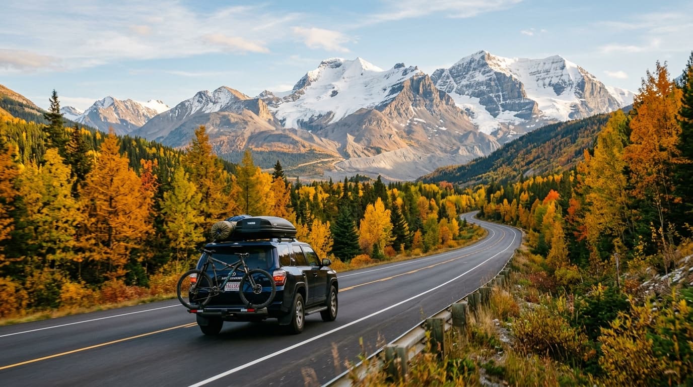
Alberta produces a lot of snowbirds, and a good share of them drive. Calgary to Rosarito is roughly 2,500 miles — four to five days at a sensible pace — through Montana, Idaho, Utah, Arizona, and California to the San Diego border crossings.
It's a long haul, and the two things that determine whether it goes well are when you leave (mountain weather) and what insurance you buy (Baja Only is almost certainly enough, and a lot of Alberta drivers overpay for Nationwide they never use).
I live in Rosarito and see the Alberta plates arrive every October and November. Here's the practical version.
The insurance question, answered first
Your Alberta policy — and any Canadian policy — is not valid in Mexico. Mexican federal law requires liability coverage from a Mexican-licensed insurer. This isn't a technicality about claims handling; it's the legal requirement, and it's enforced at accident scenes and traffic stops.
Some Canadian insurers offer limited Mexico extensions. Read them carefully. They are typically supplemental physical-damage coverage that does not satisfy the Mexican liability requirement on its own. You still need a Mexican policy.
Now, which Mexican policy:
Baja Only covers the Baja peninsula — both Baja California and Baja California Sur, so all the way from Tijuana to Cabo. It's the cheapest option. For an Alberta snowbird wintering anywhere on the peninsula, this is the right product.
Nationwide covers all of Mexico. You only need it if you're driving onto the mainland — the ferry to Mazatlán, or the long way around through Sonora.
A Baja Only annual runs roughly $300-350 for a mid-value vehicle with full coverage. A Nationwide annual runs roughly $400-500. If you're doing a Baja season, that difference is money left on the table for coverage you won't use.
Buy Nationwide only if you have concrete mainland plans. "Might drive to Mazatlán" is worth deciding before you buy, because upgrading mid-season is more awkward than buying correctly up front.
Why Baja is easier than the mainland for Canadian drivers
No TIP required. The Baja peninsula is a free zone. No Temporary Vehicle Import Permit, no Banjercito deposit, no cancellation ritual on the way home. Mainland Mexico requires all of that. This is a genuine simplification and it's a large part of why Baja is the default for west-coast Canadian snowbirds.
You still need a tourist permit (FMM) for a stay of snowbird length. Get it at the crossing.
The route from Calgary
The standard Alberta run goes south through the US interior to Arizona or the California desert, then west to the San Diego crossings.
Calgary → Great Falls / Helena, Montana. Cross at Coutts/Sweetgrass. This first day gets you into Montana and out of Canadian winter.
Montana → Idaho → Utah. Down through Idaho Falls and into Utah on I-15. Salt Lake City is the natural second-night stop for many.
Utah → Las Vegas → Southern California. I-15 all the way south through St. George and Las Vegas into the California desert.
Southern California → San Ysidro or Otay Mesa. West and south to the border.
Total: roughly 2,500 miles to Rosarito. Four to five days is comfortable; three is a grind.
Some Alberta drivers take an Arizona routing instead — down through Phoenix and Tucson, then west on I-8 to San Diego. It's a reasonable alternative, adds a bit of distance, and puts you through warmer country sooner. It also positions you for a Rocky Point detour if you're curious about the Sonoran coast.
The crossing: San Ysidro or Otay Mesa
Both work. San Ysidro is the busiest land border crossing in the Western Hemisphere and sits right at Tijuana. Otay Mesa is east of it, generally less congested for southbound passenger traffic, and is often the better choice if you're arriving with a loaded vehicle or a trailer.
Southbound waits are usually far shorter than northbound. The pain is on the return trip in spring.
Our detailed guides: crossing at San Ysidro and crossing at Otay Mesa.
Timing: the mountain-pass question
This is the part that's specific to Alberta and the northern Rockies, and it's the difference between an easy trip and a genuinely bad one.
Early to mid October is the safe window. The high country through Montana, Idaho, and Utah is reliably clear, the days are still long enough for good driving hours, and you're ahead of the first serious storms.
Late October usually works but carries real risk. An early system through the Montana high country or over the Utah passes can put snow and ice on I-15 with little warning.
November is a gamble. Plenty of people do it successfully every year, and plenty of people spend a night in a Idaho motel waiting for a pass to reopen.
Practical advice from people who make this drive annually:
- Watch the forecast for the specific mountain segments, not just the cities. The passes make their own weather.
- Have winter tires or at least all-seasons in genuinely good condition. You're starting in Alberta in autumn — this is not the trip for worn rubber.
- Carry chains if you're leaving late in the season. Some passes require them during storms regardless of vehicle.
- Build a spare day into the schedule. If you have to be somewhere on a fixed date, you'll make bad decisions about driving into weather.
- The reverse trip in spring is much easier. March and April northbound is generally straightforward.
Where Alberta drivers actually stop
Four nights is the common pattern, and the stops tend to be the same ones year after year:
Night one: Great Falls or Helena, Montana. Gets you across the border at Coutts/Sweetgrass and out of Alberta. A short-ish first day, which is usually welcome after the last-minute packing.
Night two: Salt Lake City or Provo, Utah. The long day, and the one with the most elevation. If weather is moving through, this is the day to be flexible about.
Night three: St. George, Utah or Las Vegas. You're out of the high country by now and the weather risk drops away.
Night four: somewhere in southern California — Barstow, or push through to the San Diego area.
Day five: cross. Arriving at the border in the morning gives you daylight for the drive down to Rosarito or Ensenada, and if you're continuing down the peninsula it sets up a proper start the next day.
Some drivers compress this to three nights by making the Montana-to-Utah day longer. That works in October when the passes are clear. It's a worse plan in late November.
Fuel and the exchange rate. Fuel in the US is generally cheaper than in Canada, so most Alberta drivers fill up as soon as they're across. Notify your bank that you'll be using the card in the US and then Mexico — a card frozen in Idaho is an annoying way to start a winter.
The vehicle prep that matters for 2,500 miles
You're putting five days of continuous highway driving on the vehicle before it even reaches Mexico, then leaving it in a coastal salt-air environment for four months.
- Service before you leave, not after you arrive. Mexican mechanics are capable and inexpensive, but parts for less common Canadian-market vehicles can mean waiting.
- Tires: check tread and pressure. The temperature swing from Alberta October to Baja December is enormous and pressures will move.
- Battery: a battery that's marginal in Alberta cold may be fine, but one that's marginal in Baja heat will fail in February.
- Carry your registration, proof of Mexican insurance, passport, and FMM together and accessible.
- Take photos of the vehicle's condition before you cross. Useful for any later claim.
Where Alberta snowbirds land in Baja
Rosarito — 20 minutes south of the border. The easiest first season: close enough for a same-day run back to San Diego for shopping or an appointment, established foreign community, oceanfront condos. Cooler and greyer in mid-winter than Baja Sur, which surprises people expecting tropical. Our Rosarito guide.
Ensenada — about an hour further south. Larger working city, wine country immediately inland in the Valle de Guadalupe, proper port, more Mexican in daily character. Our Ensenada guide.
Loreto — about 700 miles down the peninsula on the Sea of Cortez side. Small, historic, quiet, excellent fishing. A long-standing favourite for Canadians who want warm and calm rather than busy. Our Loreto guide.
La Paz — capital of Baja California Sur, roughly 900 miles down. Genuine city with a beautiful malecón, warm winter weather, ferry connection to the mainland. Popular with longer-stay snowbirds. Our La Paz guide.
Cabo San Lucas / San José del Cabo — the end of the peninsula, roughly 1,000 miles from Tijuana. Warmest winter weather in Baja, most developed tourist infrastructure, highest prices. Our Cabo guide.
The key point for Alberta drivers: all of these are covered by the same Baja Only policy. You can winter in Rosarito, drive down to Loreto for three weeks in January, and continue to Cabo in February without changing coverage.
Driving the peninsula
If you're heading past Ensenada, Highway 1 is the only road, and it runs the length of the peninsula.
Realities worth knowing:
- It's two lanes for most of its length, with narrow or absent shoulders in the central desert.
- The stretch through the central desert between El Rosario and Guerrero Negro has long gaps between fuel and services. Fill up when you can.
- Trucks use the same road and passing situations require patience.
- Daylight driving only. This is more important on Highway 1 than almost anywhere else — livestock on the road at night is a genuine and well-documented hazard through the ranch country.
- Tijuana to Cabo is roughly 1,000 miles and typically two to three days.
Military checkpoints are routine along the peninsula. They're normal, generally courteous, and usually a brief conversation. Have your documents accessible.
What else Alberta snowbirds need to sort out
Travel medical insurance. Alberta Health Care does not travel. Mexican auto insurance covers the vehicle and liability, not your health. Out-of-country medical coverage is a separate purchase and it's not optional for a four-month stay. Check the policy's maximum trip length — many standard travel policies cap at 30 or 60 days and need an extension for a full season.
Provincial residency requirements. Alberta has minimum-presence rules for maintaining health coverage. Know your allowance and count your days.
Banking and cards. Tell your bank you'll be in Mexico. Understand your foreign transaction fees and daily ATM limits. Canadian cards sometimes get flagged more aggressively than US ones.
Prescriptions. Bring enough, in original labelled packaging, with a copy of the prescription.
Mail and bills. Four months is long enough that something will arrive. Sort forwarding or digital handling before you go.
What Alberta snowbirds get wrong
Assuming Canadian insurance extends to Mexico. It doesn't. Mexican-licensed liability is a separate legal requirement.
Buying Nationwide for a Baja-only season. Roughly $100-200 a year of coverage you'll never use.
Leaving too late in October. The passes don't care about your booking.
Skipping travel medical because "auto insurance covers it." Completely different products.
Buying insurance at the border booth. Legal, but typically 2-3x online pricing with worse terms. Buy before you leave Calgary.
Assuming Baja is tropical in January. Northern Baja — Rosarito, Ensenada — is genuinely cool and often grey in mid-winter. If you want warm, go further south.
Driving Highway 1 after dark. The most repeated advice on the peninsula, for good reason.
Not counting provincial residency days. An administrative headache that's entirely avoidable.
If something happens
Stay at the scene, call the claims number on your policy before moving the vehicle or agreeing to anything, don't admit fault, don't sign Spanish-language documents you can't read.
Baja-specific notes:
- Green Angels (Ángeles Verdes) patrol Highway 1 and provide free roadside assistance.
- Cell coverage on the peninsula is good near towns and patchy in the central desert. Don't rely on it for a breakdown plan.
- Ensenada, La Paz, and the Cabo area have full hospital infrastructure. Northern Baja residents often cross to San Diego for major medical needs — which is another argument for basing in Rosarito or Ensenada for a first season.
- Keep a printed copy of your policy in the vehicle.
Frequently asked questions
How far is it from Calgary to Baja?
About 2,500 miles from Calgary to Rosarito, typically four to five days of driving through Montana, Idaho, Utah, Arizona, and California to the San Ysidro or Otay Mesa crossing.
What Mexican insurance do Alberta snowbirds need?
A Baja Only annual policy is sufficient and cheapest if you stay on the Baja peninsula. You need Nationwide only if you plan to drive to mainland Mexico.
When should Alberta snowbirds leave to avoid mountain snow?
Early to mid October is the safest window. Late October still usually works but carries more risk of an early storm through the Montana and Utah high country.
Does Canadian auto insurance cover me in Mexico?
No. Canadian and US policies are not recognised in Mexico. Mexican law requires liability coverage from a Mexican-licensed insurer, purchased separately.
Do I need a TIP to drive in Baja?
No. The Baja peninsula is a free zone, so no Temporary Vehicle Import Permit is required. That is one of the main reasons Baja is easier for Canadian drivers than mainland Mexico.
Do Alberta snowbirds need travel medical insurance too?
Yes, separately. Mexican auto insurance covers the vehicle and liability. Provincial health coverage does not travel, so out-of-country medical insurance is a separate purchase.
Which Baja destinations are most popular with Alberta snowbirds?
Rosarito and Ensenada in the north for shorter drives and easier border runs, and La Paz, Loreto, and the Cabo area in Baja Sur for longer stays and warmer winter weather.
How long does the drive down the Baja peninsula take?
Tijuana to Cabo San Lucas is roughly 1,000 miles on Highway 1, typically two to three days of driving. Loreto and La Paz are common stopping points.
Considering the mainland instead?
Baja is the default for Alberta drivers because it is closest and the paperwork is simplest, but it is not the only option. If you want warmer mid-winter weather and a bigger city, the Pacific mainland is worth pricing: driving to Mazatlán and driving to Puerto Vallarta both sit on the Highway 15 corridor. Both need Nationwide coverage and a vehicle import permit rather than Baja's free-zone simplicity, and both add days to the drive — but the winter climate south of Mazatlán is a different proposition from Rosarito in January.
Heading south for the season? Get an annual Mexican auto insurance quote.
Related reading
- Driving to Rosarito
- Driving to La Paz
- Driving to Cabo San Lucas
- Snowbird driving from British Columbia to Baja
- Long-term Mexican car insurance for snowbirds
- Driving to Mexico for the winter — what you need to know
Written from Rosarito, Baja California.